Lace up your hiking boots and prepare for an adventure in Kvinnherad, Norway, as we uncover fascinating facts about the Melderskin Trail. Nestled between the majestic Hardangerfjord and the glacier Folgefonna, this trail offers stunning alpine peaks and breathtaking views. From the journey to the trailhead in Rosendal to the challenging yet rewarding hike, this guide will provide you with all the information you need to conquer this impressive mountain in Hordaland. So strap on your crampons and get ready to explore the beauty of Melderskin!
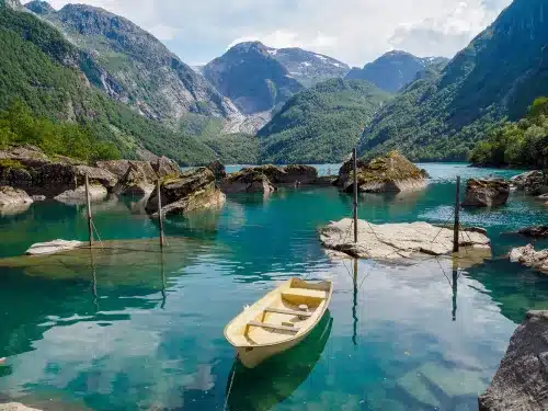
Exploring the Beauty of Lake Bondhusvatnet
Key Takeaways:
- Location: Melderskin is in Kvinnherad, a small community east of the Hardangerfjord in Norway, known for its alpine peaks.
- Trailhead and Route: The trailhead is easily accessible from Rosendal. A well-marked trail leads hikers uphill through various terrains, including snow-covered sections that may require crampons and ice axes.
- Summit: The final ridge leading to the summit of Melderskin offers stunning views. There is a false summit to navigate and a gradual climb to the peak, providing a rewarding hiking experience for enthusiasts.
In this article, we will give you the following 6 facts about the Melderskin trail:
1. Where Is the Location, and What is the Accessibility?
Getting to Kvinnherad
An adventurous journey begins with a drive east of the Hardangerfjord to Kvinnherad, a quaint community with alpine peaks in Hordaland. You can reach Gjermundshamn from Bergen in just 1.5 hours, where a ferry awaits to whisk you across to Årsnes. From there, a scenic 5 km southward drive takes you to Rosendal, the gateway to Melderskin.
Reaching Rosendal and the Trailhead
For those seeking the challenge of Melderskin, Rosendal is the starting point for the trek. Once in Rosendal, follow the signs to Baroniet, then take a left turn at the second main fork. Keep driving uphill until you hit a sign prohibiting further driving, except for local farmers. This marks the trailhead with convenient parking facilities.
To fully immerse yourself in the beauty of the Norwegian landscape, follow the red “T” markings that lead you through a gradual ascent above the treeline. Prepare for a steep and snowy section near the main ridge if early in the season. Then crampons and an ice axe might be necessary for a safe passage. Once past the false summit, marked trails will guide you to the actual peak of Melderskin, offering breathtaking views of the surrounding glaciers and fjords.
2. Trail Overview
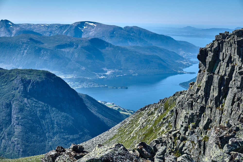
Some of Hordaland’s most alpine peaks are east of the Hardangerfjord, with the impressive Melderskin being a standout. The trail starts at 148 meters or 486 feet and gradually leads hikers to the main ridge, offering stunning views.
Route Description
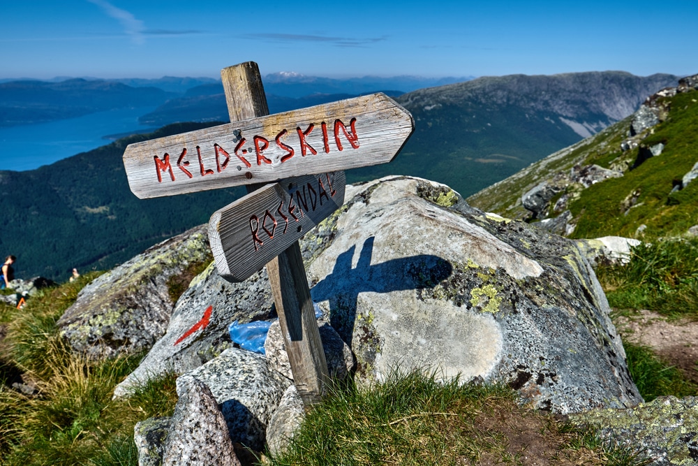
The trail starts with a short stretch along the road before veering right into the forest. Marked with red “T” signs, it climbs uphill, eventually reaching the main ridge at 900 meters or 2953 feet. Just before gaining the main ridge, hikers should be prepared for a steep section.
Trail Markings and Signage
Marked with red “T” signs, the trail is well-maintained and easy to follow. Hikers should watch for the signs as they navigate through the forested areas and beyond the treeline towards the summit.
3. How Is the Terrain and Elevation?
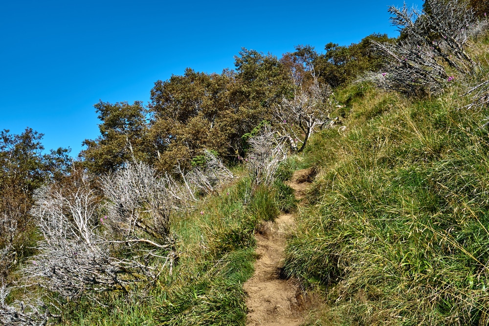
Despite its challenging terrain, the Melderskin trail offers hikers a rewarding experience with stunning views. At 1426 meters or 4678 feet above sea level, it is known as “The Queen among the Sunnhordland mountains.”
The Ascent
The terrain on the Melderskin trail varies from forested areas to exposed ridges. Hikers should be prepared for steep sections, especially as the trail nears the main ridge.
The Main Ridge
The trail gains the main ridge at an elevation of nearly 900 meters or 2953 feet, allowing hikers to enjoy a more gradual ascent towards the summit. The route is well-marked, making navigating even on challenging terrain easier.
False Summit and Final Approach
On the Melderskin trail, what appears to be the summit is a false summit. Hikers should be prepared to contour slightly to the left of this point and continue climbing gradually towards the final ridge leading to the true summit.
4. How to Navigate the Trail?
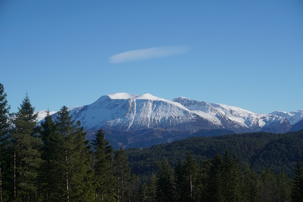
Dealing with Snow and Ice on the Melderskin Trail
Trail conditions can vary depending on the time of year. In mid-April, be prepared for sections of snow and ice, especially in the steepest parts of the trail. Crampons and an ice axe can come in handy for navigating these slippery areas. Make sure to assess the conditions and adjust your gear accordingly for a safe hike.
Alternative Descent Route
An alternative descent route can be taken to avoid the steepest section covered in snow and ice. Descend a bit further on the main ridge, then traverse back to the trail below the snow section. This detour can provide a safer and possibly more enjoyable way down from the summit.
Consider exploring the alternative descent route to maximise your Melderskin hike. This option offers a different landscape perspective and allows you to bypass the more challenging snowy section, making for a smoother descent back to the trailhead. Stay adventurous, and don’t be afraid to try out different paths on your mountain journey.
5. Essential Information
Parking and Trailhead Details
Any adventurer setting out to conquer Melderskin should start their journey at the well-marked trailhead in Rosendal, Norway. For more information on this epic hike, check out Melderskin’s “Queen of the Sunnhordland mountains”
Elevation and Location Coordinates
Parking is available at an elevation of 148 meters or 486 feet, and the trailhead is located at coordinates north 59:59.828 and east 006:01.015. The primary factor of the mountain is 196 meters or 643 feet, with Melderskin standing tall at 1426 meters or 4678 feet above sea level.
6. Tips and Precautions
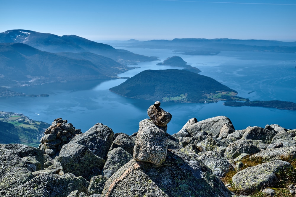
Now that you have all the information you need to hike the Melderskin trail, here are some tips and precautions to keep in mind before launching on this adventure:
- Perceiving the beauty of the landscape is essential, but staying safe is even more crucial. Check the weather conditions before heading out on the trail.
Crampons and Ice Axe: When to Use Them
To ensure a safe winter or early summer hike, it is recommended to bring crampons and an ice axe when the trail is covered in snow. These will provide extra grip and stability on the slippery terrain, especially during the steepest sections of the trail.
Weather Conditions and Safety
Precautions should be taken regarding the weather conditions when hiking Melderskin. Sudden changes in weather, such as fog or rain, can obscure the trail and make navigation challenging. It is crucial to be prepared with appropriate clothing and equipment to ensure your safety on the trail.
Always prioritise your safety during the hike. Be aware of your surroundings, stay on the marked trail, and inform someone of your hiking plans before setting out. In any emergency, have a communication device to call for help.
We have now given you 6 facts about the Melderskin trail. When considering all points, the Melderskin trail in Rosendal, Norway, offers a challenging yet rewarding hike with stunning views. From the ferry ride to the well-marked trail and the final ascent to the summit, this hike provides an excellent opportunity to experience the beauty of the Hordaland region. With proper preparation and equipment, hikers can enjoy a memorable adventure on this alpine peak.
Read more about the Hardangerfjord and where to stay
FAQ About the Melderskin Trail
-
Where is the Melderskin mountain located?
The Melderskin mountain is located in Kvinnherad, a small community east of the Hardangerfjord in Norway.
-
How can I get to the Melderskin trailhead?
To reach the Melderskin trailhead, drive from Bergen to Gjermundshamn, take a ferry to Årsnes, and then continue south to the village of Rosendal. From there, follow the signs to Baroniet and Kletta until you reach the trailhead.
-
What is the elevation and primary factor of Melderskin?
Melderskin stands at 1426 meters (4678 feet) with a primary factor of 196 meters (643 feet) and offers stunning views of the surrounding area in Rosendal, Norway.
-
What should I expect on the Melderskin trail?
The trail starts among trees before emerging above the treeline, leading hikers to a steep section covered by snow during colder months. Crampons and an ice axe may be necessary in certain conditions.
-
Are there any critical landmarks along the Melderskin trail?
As you ascend, the trail gains the main ridge just below 900 meters (2953 feet). Be on the lookout for what appears to be the summit but is false. The final ridge before the summit offers breathtaking views and a rewarding hike.
How to Conquer The Challenging Buarbreen Glacier Trail Hike


